Crois Domhnaigh · Co. Cavan
The crossroads before the lake. Everything good is just beyond it.
Crossdoney sits six kilometres west of Cavan town on the R201, at the point where the road forks and the drumlin farmland starts to open into the lake country. It is a crossroads village in the original sense - a handful of houses, a church, a school, built around the junction rather than around any single purpose. The 2022 census counted around four hundred people. It feels honest about what it is.
The reason the name comes up is what sits on either side of it. To the west, Killykeen Forest Park - six hundred acres of mixed woodland on the shore of Lough Oughter, with walking loops that run along the lakeshore between wooded peninsulas and out to viewpoints where the castle appears in the middle of the water. To the north, the lake system itself: Lough Oughter is not really one lough but a drowned drumlin landscape, a maze of small islands, channels and reed beds that spreads for miles through the upper Erne catchment. It is a Special Area of Conservation and one of the quieter corners of Cavan.
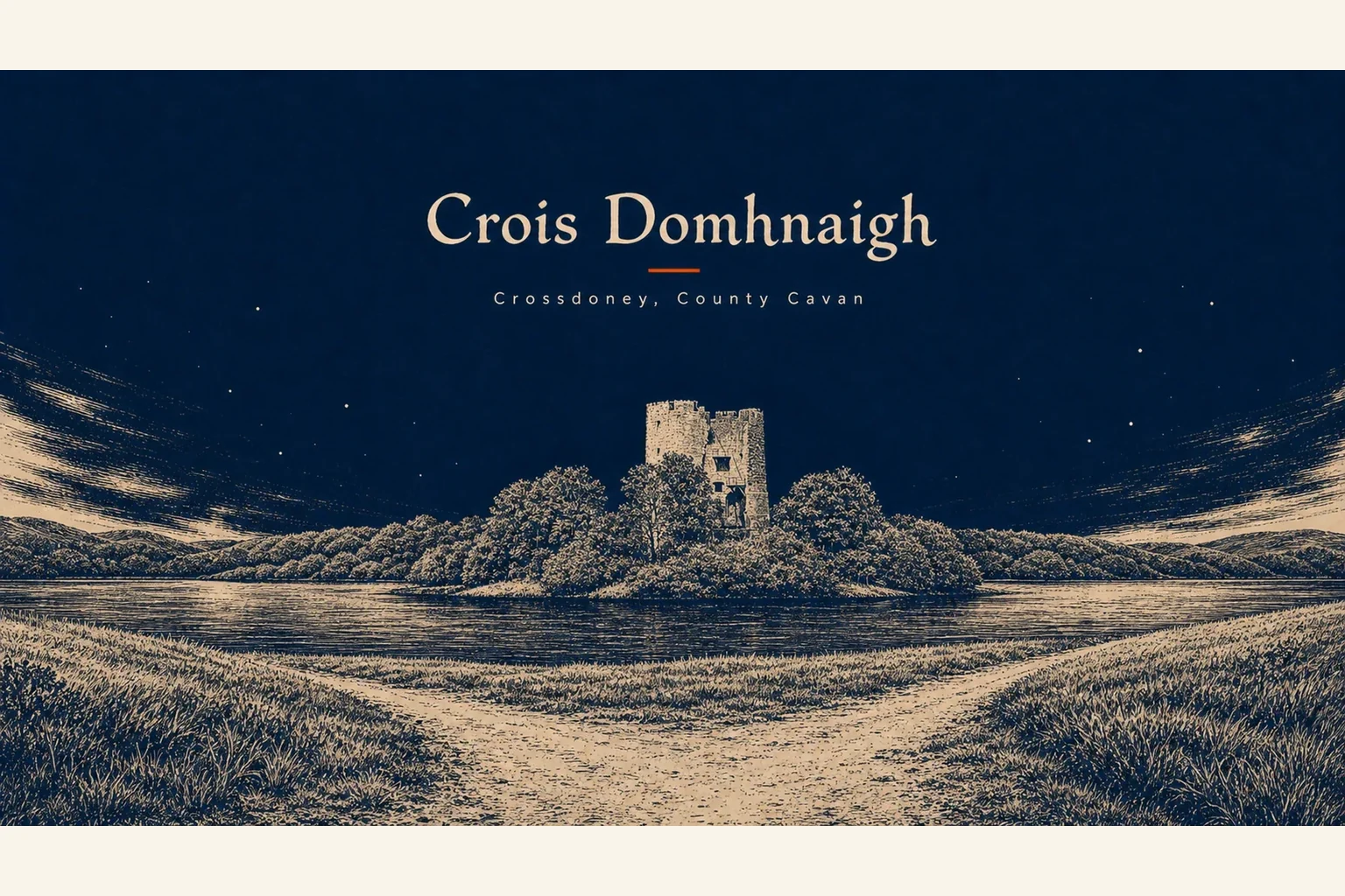
In the middle of the lough, on a crannóg barely big enough to hold it, stands Cloughoughter Castle. The O'Reillys built a circular tower house there in the 13th century and used it as a stronghold for three hundred years. In November 1649, Owen Roe O'Neill - the Confederate general who had beaten the Scots at Benburb three years earlier - died of fever inside those walls, with the Cromwellian conquest already past stopping. The castle fell to Cromwellian artillery in 1653. The walls are still standing, half-ruined on their island, and the best way to reach them is by canoe from Killykeen.
Come here if you want the lake country without the Cavan town traffic. Stay for a morning. Walk the Killykeen loops. Paddle out to the castle if you have the gear or can hire it. Drive back through the village and you will have had a full Cavan day from a place most maps skip entirely.