County Carlow Ireland · Co. Carlow · Kildavin Save · Share
POSTED FROM
KILDAVIN
CO. CARLOW · IE

Kildavin
Cill Damháin

The Ireland's Ancient East
STOP 06 / 06
Cill Damháin · Co. Carlow

The road up Mt Leinster starts at the crossroads. That's the whole pitch.

Kildavin is a one-street village in south-east Carlow on the R702, about three kilometres north of Bunclody. The name in Irish is Cill Damháin — the church of Dáimhín, an early follower of St David, and the village still holds him as patron. The current Catholic church on the main street is St Lazerian's, named for the Leighlin saint whose diocese Kildavin sits inside.

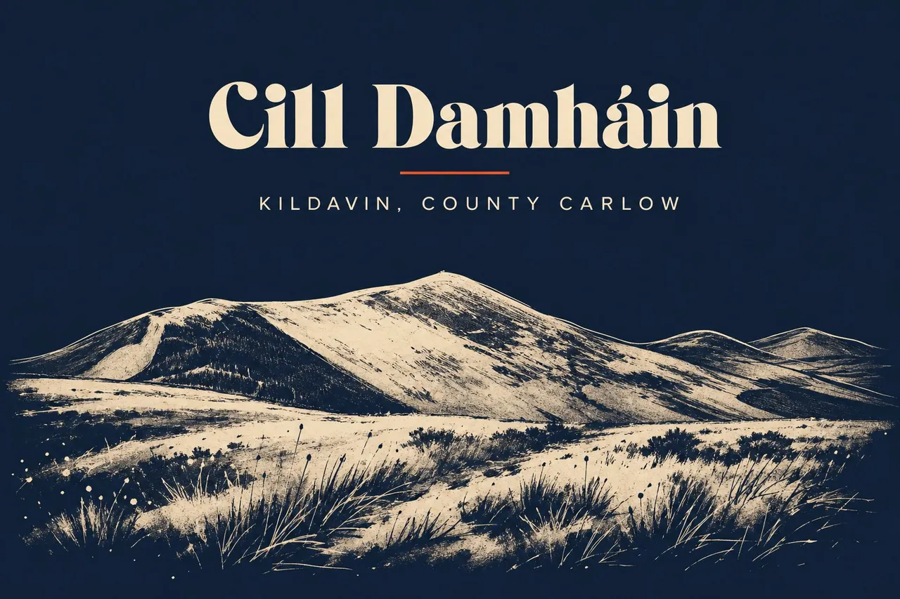
What gives the place its size beyond its size is what's behind it. The Blackstairs Mountains run south from here along the Wexford border, and Mt Leinster — 795 metres, the highest point in either county — sits a few kilometres east. The R746 from the village crossroads is the road that climbs to the summit, all the way up to the TV transmitter mast on top. On a clear day half of Leinster is laid out below. On a cloudy day you're inside the cloud and the views are the inside of a cloud.

Bunclody, three kilometres south, is the bigger town and straddles the county line — half in Carlow, half in Wexford. Most practical errands from Kildavin end up there. The village itself holds the church, a pub, a few houses, and the start of the road up. That's enough.

Population
~300
Walk score
One street, one church, one pub — five minutes end to end
01 / 06

At a glance.

Three things every local will eventually mention. Read these and you've already understood more than most day-trippers do.

02 / 06

Stories & lore.

The reason to come back. The things every local will eventually tell you about, usually after the second pint.

Cill Damháin

St David's village

Dáimhín — the man the village is named for — was a follower of St David of Wales, the same David who gave Wales its patron saint. He's said to have founded an early church here on the spot the modern Catholic church now occupies. The dedication is unusual in Ireland; St David is a Welsh saint and his cult is rare east of the Irish Sea. Kildavin is one of a small handful of Irish places that quietly carry his name.

795 metres of transmitter

The TV mast

The Mt Leinster summit is crowned by RTÉ's main south-east transmitter mast — a 124-metre lattice tower that has carried television and radio signals into Wexford, Carlow, Wicklow and Kilkenny since 1962. The road up was built in part to service the mast. It's why a single-track tarmac road exists to the top of a mountain at all, and why you can drive to a 795-metre summit in Ireland that you'd otherwise have to walk.

When the wind is right

Hang-gliders off the top

Mt Leinster is one of the country's main hang-gliding and paragliding launch sites. On the right kind of southerly day pilots drive up the mast road with wings folded on the roof, lay them out near the summit car park, and step off into the air over Bunclody. If you arrive on a still day you'll see nothing of this. Arrive on a blustery dry afternoon and the sky has people in it.

The old way up

The pilgrim path

Before the mast road there was a walker's track up the Carlow side — a route long used by pilgrims and locals heading for the summit cairn. Parts of it survive as the modern Mt Leinster summit hike, and it's still the proper way to do the mountain on foot. The road is for the views. The path is for the climb.

03 / 06

Things to do outside.

Wear waterproofs. Bring a sandwich. Tell someone where you're going if it's the mountain.

Mt Leinster summit hike The walker's route up from the Nine Stones car park on the col between Mt Leinster and Black Rock Mountain. Steep but not technical. The summit gives you Wexford to the south, Wicklow to the north and the Irish Sea on a clear day. Don't do it in cloud — the mast will be the only thing you see, and you'll see it from ten metres away.
8 km returndistance
3–4 hourstime
Mt Leinster Drive The R746 from the Kildavin crossroads up to the summit car park, then the loop back via the Nine Stones and Bunclody. Tarmac the whole way, single-track in places, passing places where you'd hope. Stop at the Nine Stones col for the view east into Wexford. Don't drive it in cloud — the views are the only reason you're up there.
By cardistance
1 hour with stopstime
The Blackstairs ridge For walkers who want the whole ridge — Mt Leinster south to Blackstairs Mountain itself. Needs a car at each end or a long walk back along the road. Not waymarked. Map and compass weather.
16 km point-to-pointdistance
Full daytime
04 / 06

When to go.

There is no bad time. There are different times.

Spring
Mar–May

Heather not yet out, but the mountain is at its clearest before the summer haze. Fewer cars on the mast road.

◉ Go
Summer
Jun–Aug

Long evenings on the summit. The hang-gliders are out. Bunclody is busy with the festival in early July.

◉ Go
Autumn
Sep–Oct

Heather purple in early September on the lower slopes. Big skies over the Blackstairs. The locals' season.

◉ Go
Winter
Nov–Feb

The mast road can get ice and snow at the top — it's the highest point for a long way and the weather knows it. Check before you drive up.

◐ Mind yourself
05 / 06

What to skip.

Honestly? Don't bother.

If a local was sitting beside you, this is the bit where they'd lean in.

×
Driving the Mt Leinster road in cloud

The views are the entire point. If the summit is socked in, you'll grind a single-track road for forty minutes to look at fog from inside it. Check the webcam or just look up at the mountain — if you can't see the mast, don't drive to it.

×
Treating Kildavin as a base

It's a village of about 300 people with a pub and a church. Bunclody three kilometres south has the shops, the food, the beds. Stay in Bunclody. Visit Kildavin for the road up.

×
Skipping the walking route in favour of the drive

If the day is clear and you have legs in you, walk it. The summit you've earned reads differently from the summit you've parked at. The mast looks the same either way.

+

Getting there.

By car

Kildavin sits on the R702, 3km north of Bunclody and about 22km south-east of Carlow town. From the M9 take the Carlow exit and head south-east on the R725/R702, around 30 minutes. From Enniscorthy it's 25 minutes north on the N80/R702.

By bus

Wexford Bus and Eoin's Bus run services from Dublin and Wexford via Bunclody — Kildavin is a short hop from the Bunclody stop. Check current timetables; rural services change with the seasons.

By train

No station. Nearest is Carlow on the Dublin–Waterford line, then road south-east.

By air

Dublin Airport is 2 hours north on the M11/M9. Cork is 2.5 hours south.