County Carlow Ireland · Co. Carlow · Ballymurphy Save · Share
POSTED FROM
BALLYMURPHY
CO. CARLOW · IE

Ballymurphy
Baile Uí Mhurchú

The Ireland's Ancient East
STOP 06 / 06
Baile Uí Mhurchú · Co. Carlow

A south Carlow village under Mount Leinster — not the Belfast one, and worth saying so.

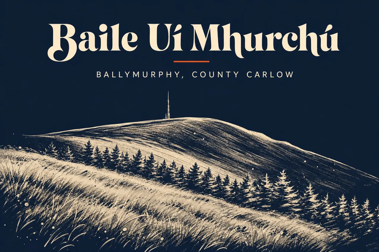
Ballymurphy is a small village on the western flank of the Blackstairs Mountains, in the south-east corner of County Carlow. It sits on the R702 between Borris and the Wexford border, at the Carlow end of the Scullogue Gap — the mountain pass between Mount Leinster and Blackstairs Mountain. There is a church, a national school, a GAA pitch and a few houses along the road. That is the village.

First, the disambiguation. This is not the Ballymurphy in west Belfast. The two share a name and nothing else — different province, different county, different story. If you came here looking for the 1971 events, you are six counties off. If you came looking for a quiet road under a mountain, you are in the right place.

What it has, in honest order: Mount Leinster on the doorstep, a granite church from 1846, a Neolithic rock-art stone at Rathgeran a couple of fields away, and a hurling club that punches several weight classes above what a place this size ought to manage. Mount Leinster Rangers — Borris, Ballymurphy and Rathanna stitched together in 1987 — took the Leinster Senior Club Hurling title in 2013. People still talk about that year.

Don't come for amenities. Come for the road up to the mast, the ridge walk on a clear day, a match on a Sunday, and the slow business of being on the quiet side of the Blackstairs. Borris is ten minutes for a pint and a meal. St Mullins is twenty for the river. The mountain stays where it is.

Walk score
A church, a school, a GAA pitch and a road
01 / 06

At a glance.

Three things every local will eventually mention. Read these and you've already understood more than most day-trippers do.

02 / 06

Stories & lore.

The reason to come back. The things every local will eventually tell you about, usually after the second pint.

Three parishes, one team

The Rangers

Mount Leinster Rangers GAA was formed in 1987 from the amalgamation of three small clubs — Borris, Ballymurphy and Rathanna — none of which could field a senior hurling team alone. Together they could. In 2013 they won the Leinster Senior Club Hurling Championship, beating Oulart-the-Ballagh in the final, and went on to play in the All-Ireland series. For three mountain parishes with a combined population under three thousand, that is a result that does not happen. It happened.

Rock art older than memory

Rathgeran

A field outside the village holds the Rathgeran rock-art stone — Neolithic carvings, cup-and-ring marks of the kind found at Newgrange and across the Atlantic seaboard. It is not signposted with any conviction and not easy to find without local directions. The stone has been on that hillside for somewhere over five thousand years, looking at the same mountain you are looking at.

The mountain road

The Scullogue Gap

The R702 runs through the Scullogue Gap, the pass between Mount Leinster and Blackstairs Mountain. It is the way droving traffic, smugglers, mass-goers, rebels and now tourists have crossed between Carlow and Wexford for centuries. In 1798 the United Irishmen used these mountains as cover and the parish histories on both sides of the ridge carry the names. The road is wide enough for two cars and steep enough to mean it.

Built into the famine

St Patrick’s, 1846

The granite church in the village dates to 1846 — built, that is, in the worst year of An Gorta Mór. The hammer-dressed stone came from local quarries and the work gave wages to people who needed them. Most of the granite churches in this part of the county date to the same decade for the same reason. The bell was moved to Borris in 1914 and a replacement was sent home by an emigrant named Byrne. The church is still in use.

03 / 06

Things to do outside.

Wear waterproofs. Bring a sandwich. Tell someone where you're going if it's the mountain.

Mount Leinster The summit road climbs from the J. F. Kennedy memorial park side, but the walk from the Carlow side via the Nine Stones is the local one. 795 metres at the top, the RTÉ mast for company, and a view that takes in five counties on a clear day. Wind on the ridge is no joke. Don't go in cloud.
8 km return from the car parkdistance
3 hourstime
The Blackstairs ridge The ridge walk from Mount Leinster south to Blackstairs Mountain (735 m) and down to Kiltealy. Open hill, no shelter, exposed in weather. A long day with a car-shuffle at either end. Magnificent if the day is in it.
14 km point-to-pointdistance
6–7 hourstime
South Leinster Way through the village The waymarked South Leinster Way passes through Ballymurphy on its run from Kildavin to Carrick-on-Suir. North to Kildavin is about 12 km of mountain road and lane. South toward Borris is gentler, river-bound, a different country.
Variabledistance
Pick your distancetime
04 / 06

When to go.

There is no bad time. There are different times.

Spring
Mar–May

Long evenings come back, the gorse goes yellow on the lower slopes, and the GAA league is in full swing.

◉ Go
Summer
Jun–Aug

Best time on the ridge. Long daylight, dry-ish underfoot, championship hurling at the weekends.

◉ Go
Autumn
Sep–Oct

The mountain is at its best. Quiet roads, clear air, and the county final on the line.

◉ Go
Winter
Nov–Feb

The pass road ices. The ridge is for people who know what they are doing in cloud and wind. The village goes quiet.

◐ Mind yourself
05 / 06

What to skip.

Honestly? Don't bother.

If a local was sitting beside you, this is the bit where they'd lean in.

×
Looking for the Belfast Ballymurphy here

Different place, different story, six counties away. The 1971 events have nothing to do with this village. The internet often confuses the two — don't.

×
Expecting a town centre

There isn't one. A church, a school, a pitch, a road. Plan to eat and sleep in Borris or Bunclody and use Ballymurphy as the way to the mountain.

×
Driving Mount Leinster in cloud

The summit road is steep, narrow and unfenced. In low cloud it is a bad idea. Wait an hour. The weather here moves fast.

×
Trying to find Rathgeran without directions

It is in a field, not a heritage centre. Ask in Borris if you really want to see it, or do not bother — the mountain is the better walk.

+

Getting there.

By car

Carlow town to Ballymurphy is 35 km on the R705/R702 via Borris — about 45 minutes. From Bunclody in Wexford, 12 km up over the Scullogue Gap. From Dublin, 1h 45m via the M9.

By bus

No regular service through the village itself. Bus Éireann Route 5 (Dublin–Waterford) stops at Bunclody; Local Link 884 covers Borris–Bagenalstown. From either, it's a taxi or a walk.

By train

Nearest station is Bagenalstown (Muine Bheag) on the Dublin–Waterford line, 25 km away. Then road.

By air

Dublin (DUB) is 2 hours by car. Waterford and Cork are further again.